Francesca and Henk-Jan's Backpacking Trip!
Friday, July 31, 2009
Hiking Queen Charlottes Track
Good morning everyone!
My assignment is to tell you all about what was undoubtedly the looooongest one-day hike Henk and I have ever done. Staying in Picton for a few days we realized there isn’t much to do; we had run out of activities pretty soon after our arrival here.
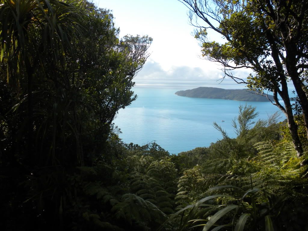
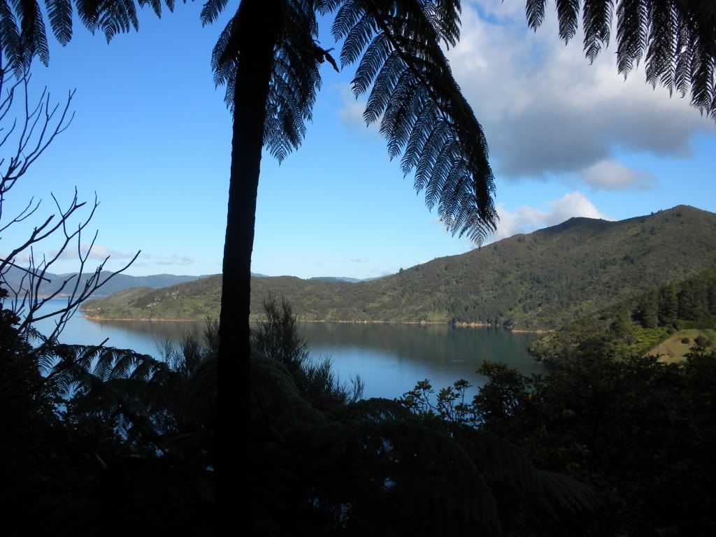
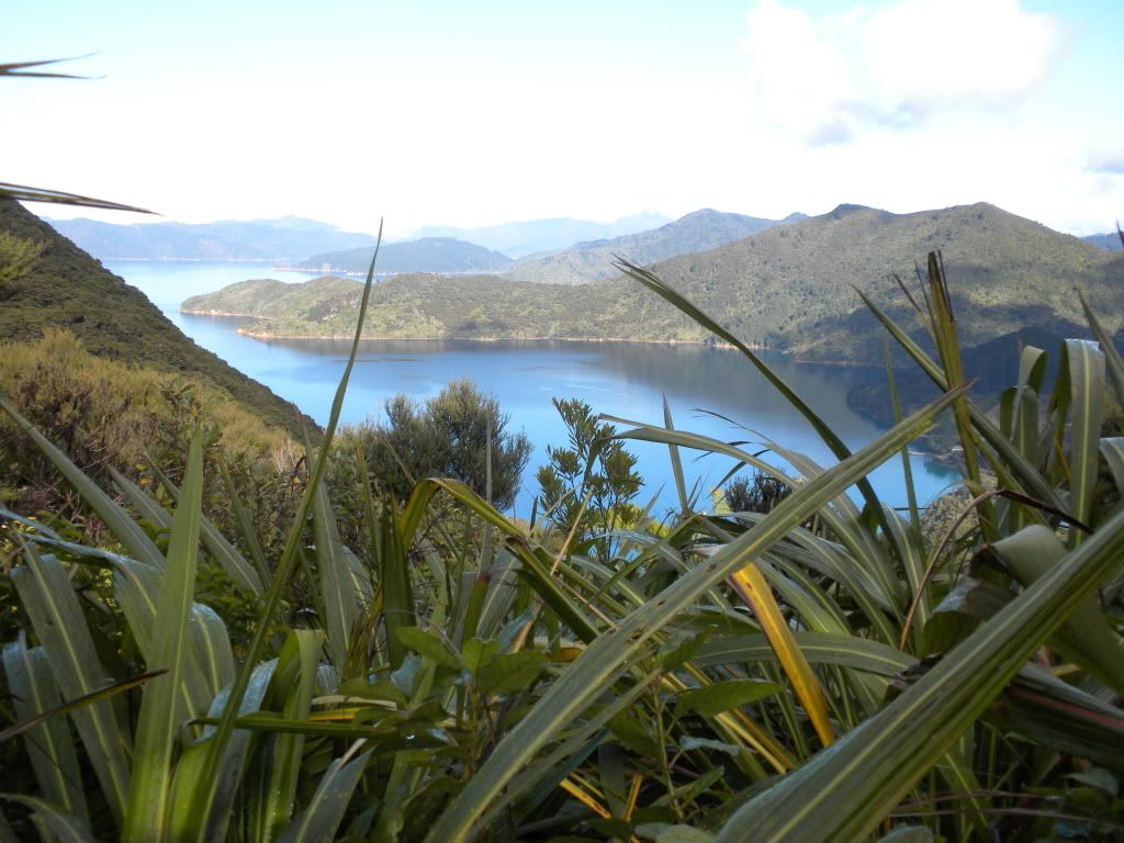
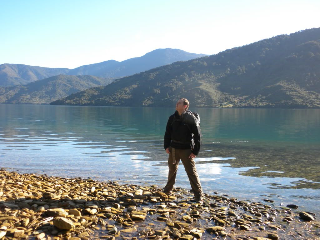
Thus we decided to take on part of Queen Charlottes Track. The trip started with an hour long scenic cruise out to the start of the track, through the bay. And wow! The views were totally gorgeous… I honestly don’t know why more people aren’t here to explore and live in the area; every plot of land has an amazing lush green mountain and bright sparkling water panorama.
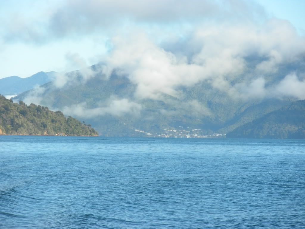
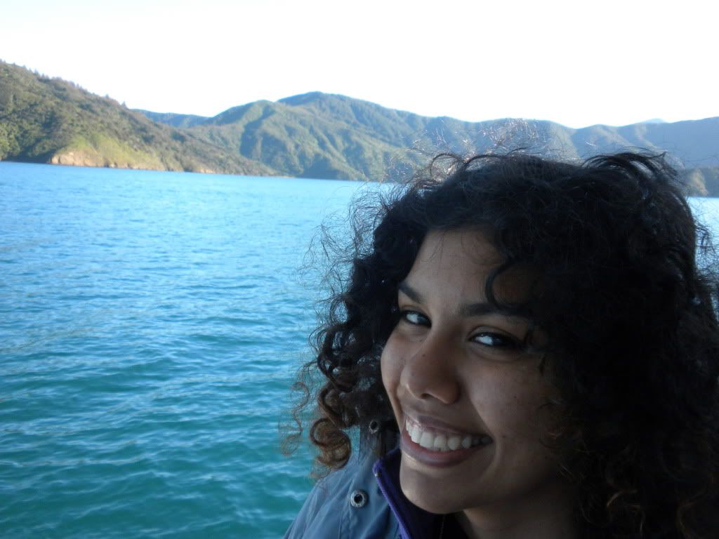
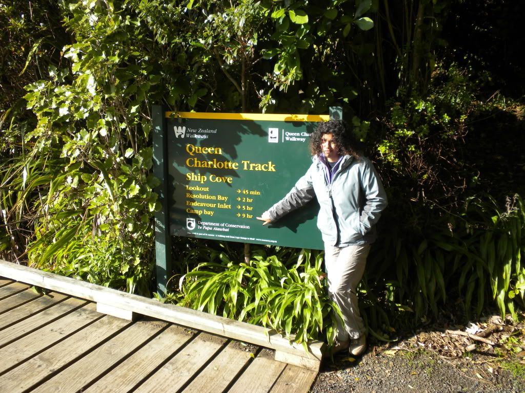
The entire Queen Charlottes walk takes a grueling 3 days, covering about 44 miles (71 kilometers); however we decided that the first day of 9 hours walking was enough for us. Starting with Ship Cove, it’s an 18 mile hike (27 kilometers) to Camp Bay, where our lodge was located. Nowadays, the track is privately owned land – thus we had to pay a fee to walk on it. A pretty clever way to make money, considering the upkeep is extremely minimal. Besides a few bathrooms along the way, there are pretty much no signs of life outside of the track – we would be in the wilderness!
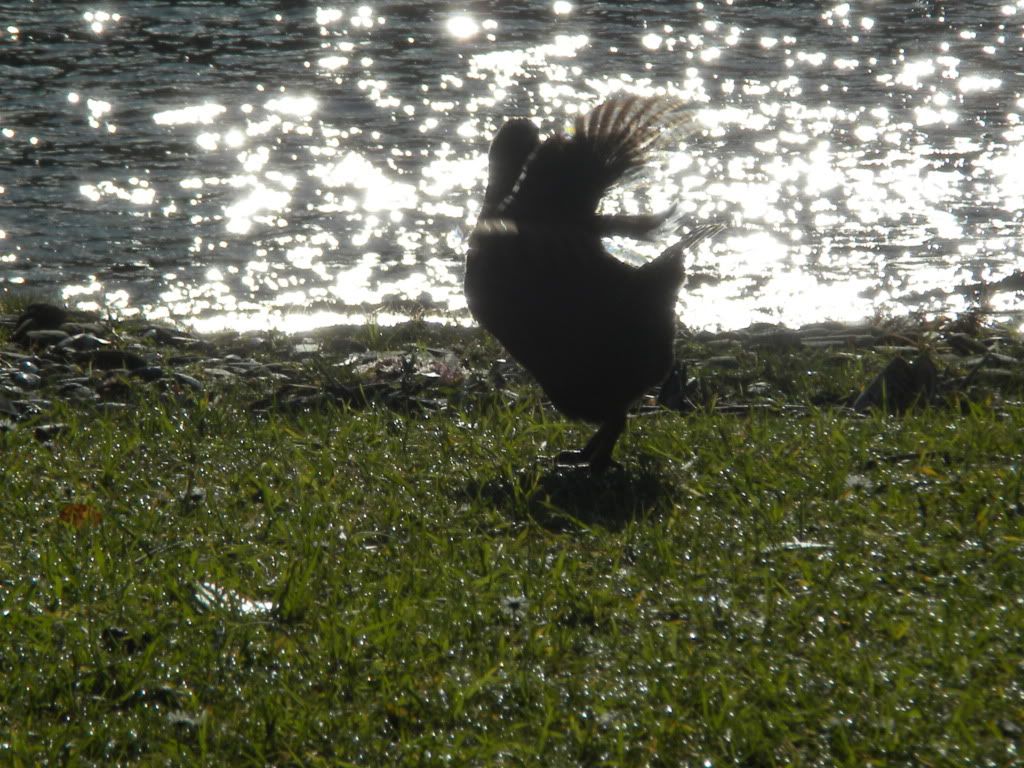
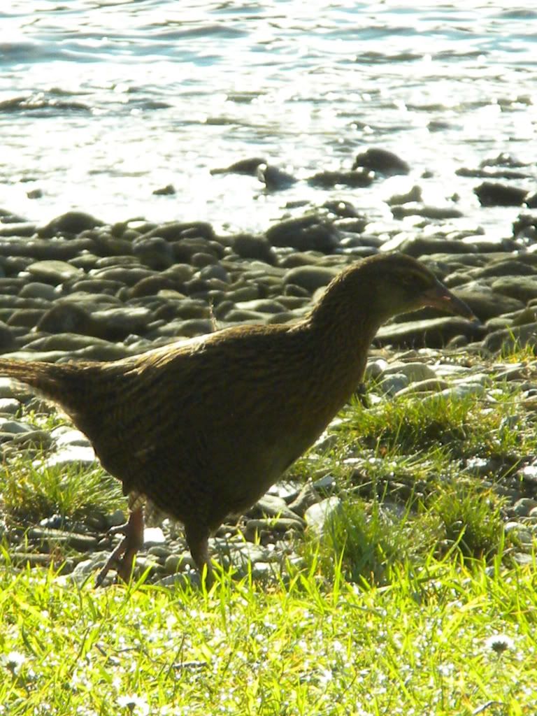
Our boat dropped us off at an area called ‘the Lookout’ at 10:30 am, where we would begin our hike. Henk took a few minutes to read signs about the area while I attempted to chase around this strange New Zealand bird that Henk called a ‘chicken.’ The bird is actually a Weka, he explained to me, and it’s a native bird that is a super fast runner but can’t fly. A fat little bird that can’t fly? Sounded like lunch to me!
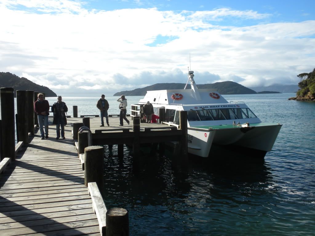
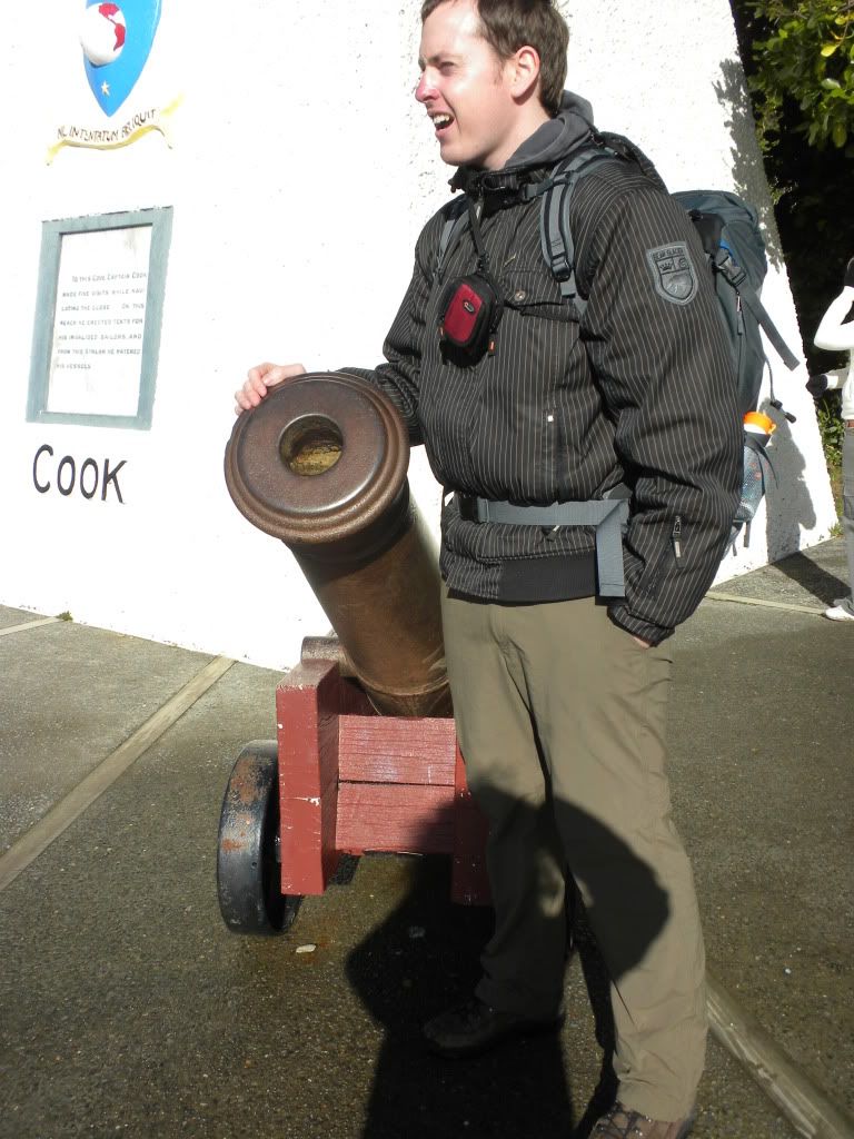
Anyways, Ship Cove was first discovered by Lieutenant James Cook in January of 1770, when he first dropped anchor from his ship the Endeavour, during his search for a southern continent. Cook’s men explored the area, which they named Queen Charlottes Sound, claiming the land – despite the native Maori who lived there – for King George III. Cook returned back for three more trips to the area in order to chart and catalogue the contents. On the third trip, Cook brought with him tons of livestock (cattle, horses, sheep, pigs, and goats) and supplies. He took the time to plant vegetable gardens and build storage areas for weapons. Regardless, by the time Cooks third trip had finished most of the storage areas were gone and the livestock eaten before they had time to breed.
Our mission: explore the sound ourselves, on foot like Cook and his men, or like the Maori who lived there before. Having rained just the day before, the track itself was pretty wet – slippery with mushy clay in some areas and thick gooey mud in others. The thick moisture in the air reminded Henk and I of tracks we explored on our trip to Costa Rica back in March. We walked next to huge palm trees; each tree had a long black ‘skirt’ formed from the layers of dead leaves which folded down on top of each other. The track was not an easy climb – a constant uphill to begin, only moments of flat track, and pretty much a consistent zig-zag; we were completely covered in sweat, and despite the winter weather, had to quickly start ditching layers of clothing to keep cool.
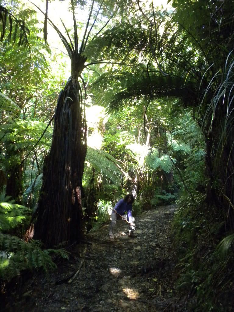
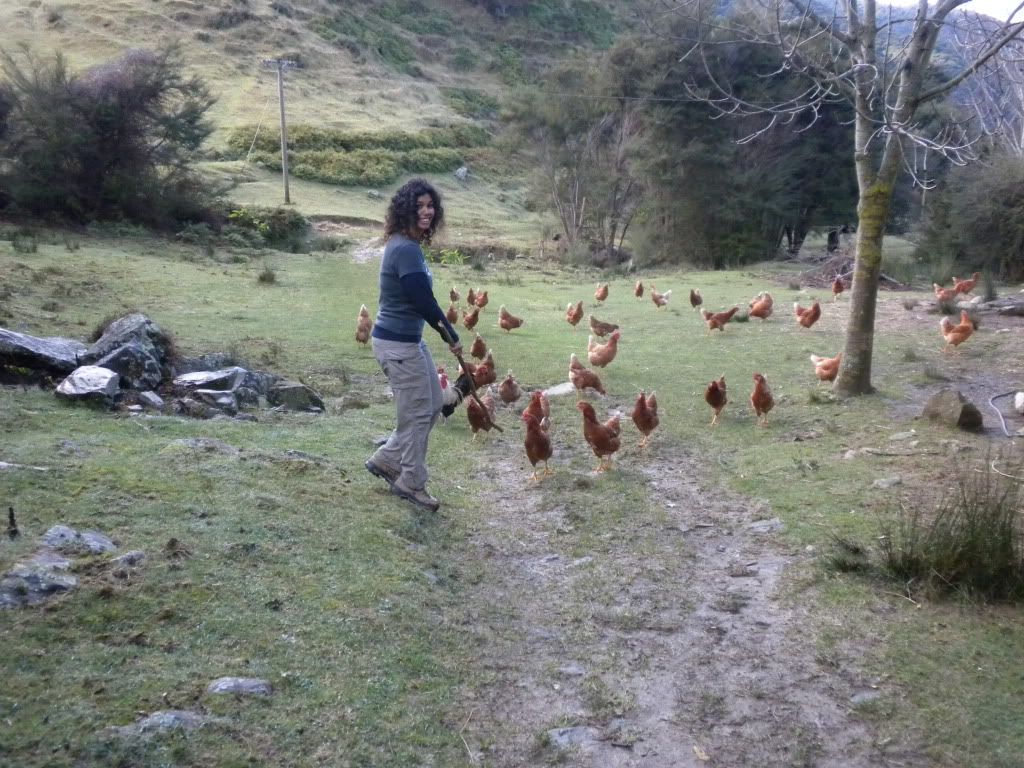
Some of the land we crossed through was being used for grazing animals. It felt so strange just opening up the gates and walking right in! But that is exactly what we were supposed to do. We came across tons of sheep, chickens, and even an alpaca or two! (And we got chased by the chickens… they started following Henk and I tried to beat them away with a stick! – Just kidding! But they really did chase us, those evil things.)
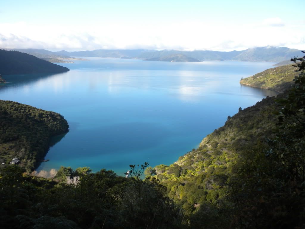
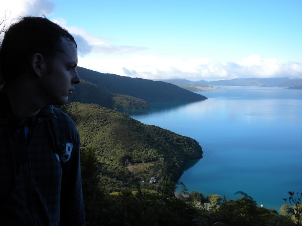
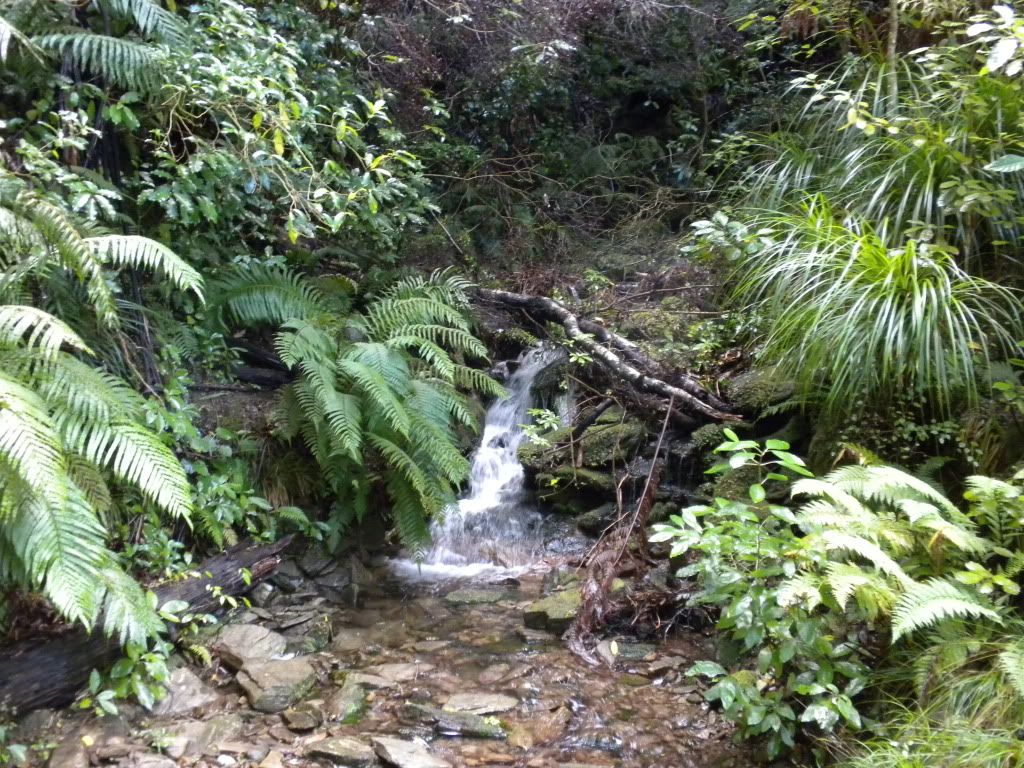
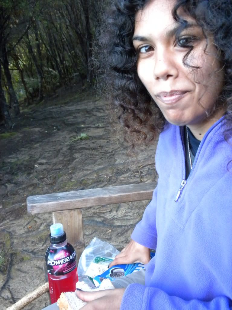
We only saw a handful of people throughout the walk, and most of them during lunchtime. After trekking past tons of little waterfalls and over small bridges, we stopped for lunch around 1:00 pm at the highest point of our first few hours climb. I was starving after burning so many calories! Tons of PowerAde, Cadbury ‘Energy Chocolate’ (packed with fruits and nuts) and sandwiches later (oh, and Oreos and Pringles chips, but those got burned off too, I’m sure of it!) we continued on. Thankfully, the next few hours walking after lunch was all downhill.
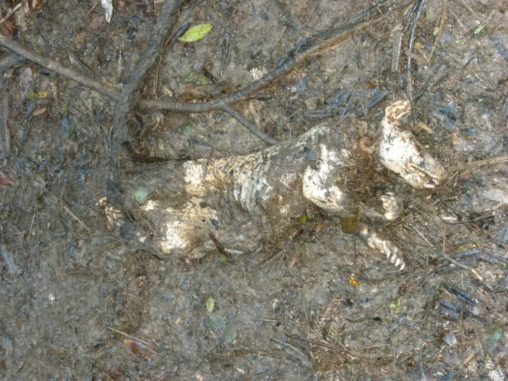
Yet this doesn’t mean it wasn’t full of surprises! New Zealand has a huge possum problem, with over 70 million of the little annoyances infesting their vegetation and eating just about everything in sight! As we were walking, I had a strange feeling and looked down at the track. Then I did a double take! There lying in the road was the decaying corpse of a possum, killed by one of the poison traps hidden throughout the forest. I screamed, of course, and took off running, with little time to comprehend what I had just seen. Henk heard my scream and stopped to take a bunch of dead possum pictures. (Those with weak stomachs, beware of the picture below!)
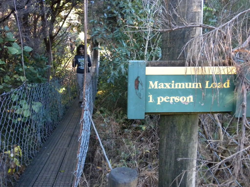
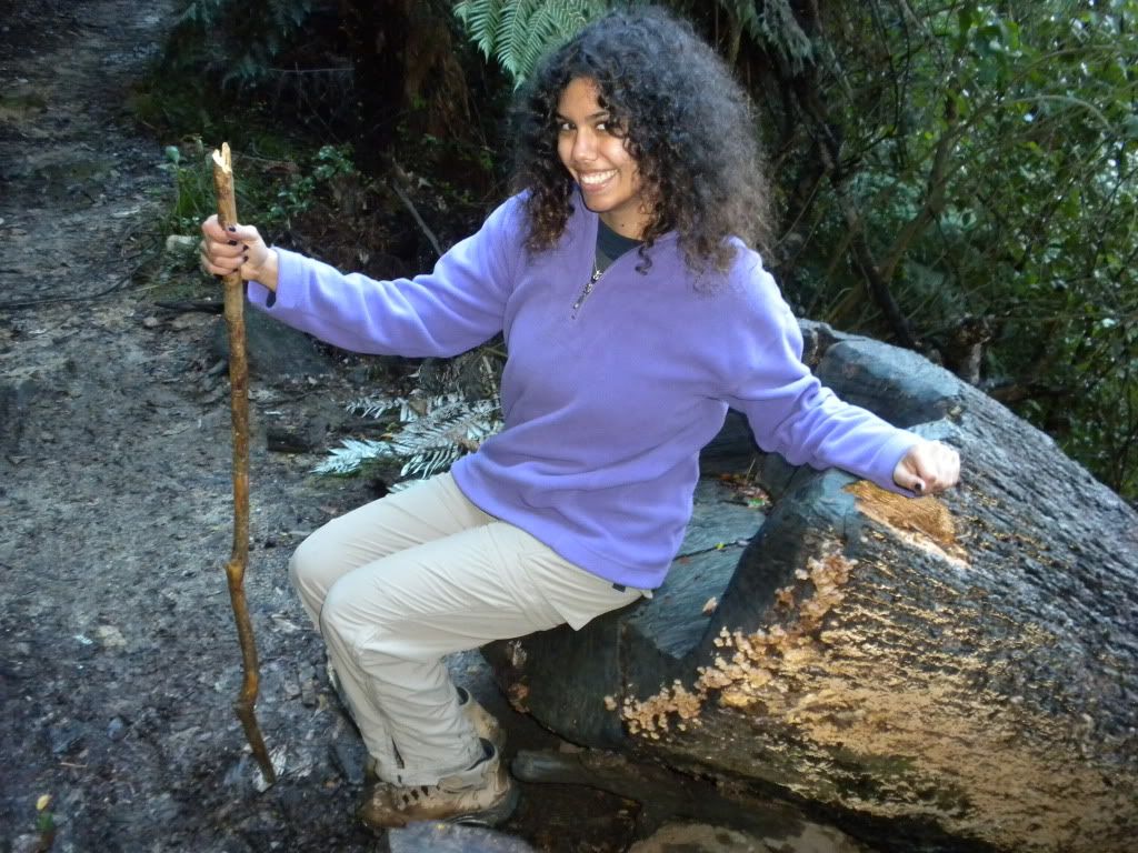
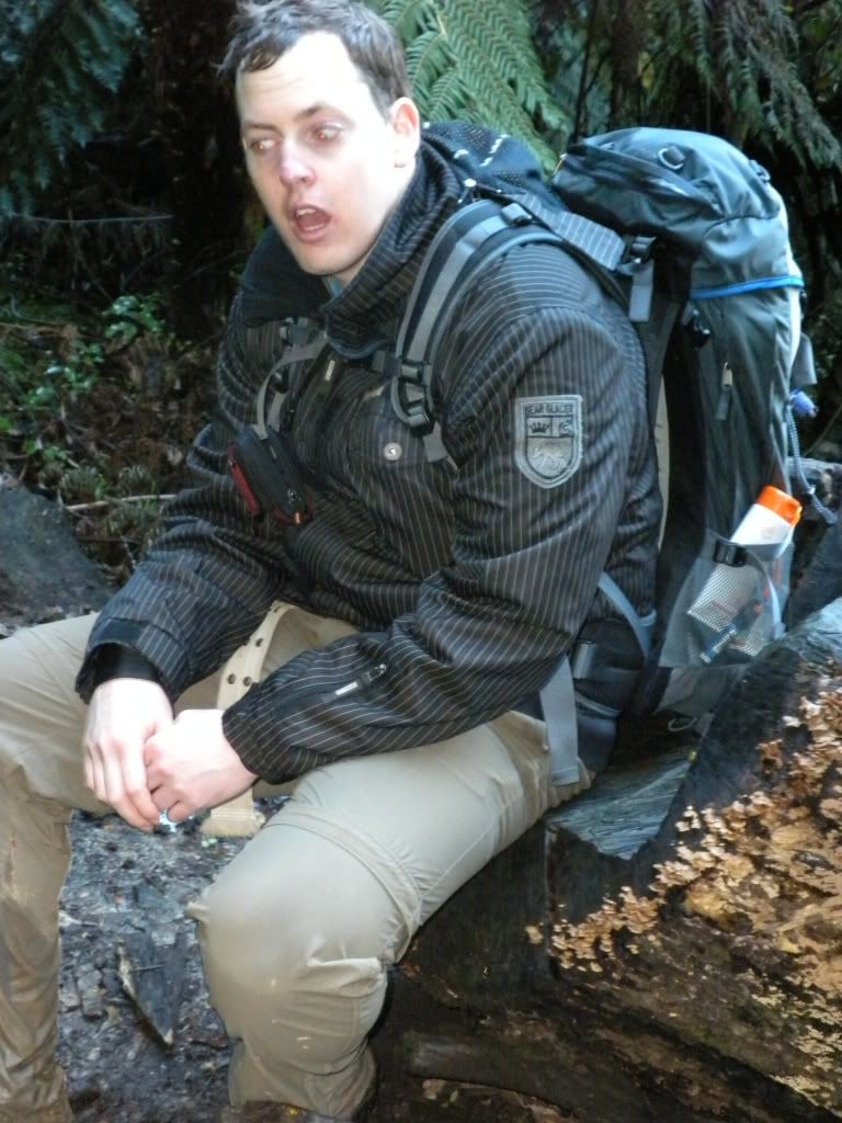
Soon after crossing over a freaky 1-person only bridge (it looked pretty sketchy to me, but it held up) we arrived at Endeavour Inlet around 3:30 pm. By then we had done so much walking… we were really starting to feel it. My right ankle hurt and I was pretty sure I had a blister on one of my toes, and since Henk was carrying our daypack, his back and hips were starting to ache. We tried to come up with different ways to stay entertained, because by that point all of the nature began to look pretty much the same. We even took the time to stop and sit/rest in a make-shift chair we found carved into a fallen tree trunk! Pretty cool looking chair!!
Thus out came the childhood car games – we played ‘I Spy,’ we tried to race to find items that started with every letter of the alphabet (in order), and he taught me the ‘countries and cities’ game. For this game, someone lists a country. Example: America. Then the next person has to list a country or city starting with the last letter of the previously listed country. I would respond with ‘Algeria.’ This went pretty well for a while, until we ran out of ‘A’s’ – a lot of countries end with the letter ‘A!’
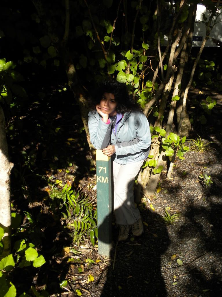
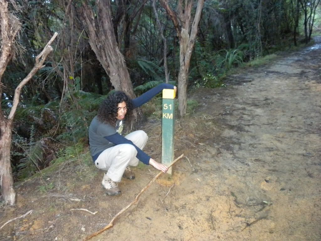
After another hour of walking, we came across the signpost stating we were at ’51 kilometers’ into the track of 71 kilometers – we had walked 20 kilometers, or 12.5 miles. It was almost 5:00 pm and I was exhausted… I dropped down next to the signpost for a quick picture. As we continued our walk, the road was flat, a huge bonus; however, it was almost sunset and we did not have a flashlight with us. For certain, we would spend about 30 minutes walking in the dark – on a mushy terrain with rocks and little bridges – not the best idea. However, I thankfully had a flashlight application installed on my cell phone, and that ensured that our final part of the journey was safe.
An hour and a half later, we arrived at our lodge for the night. Starving, we gobbled up our chefs' final meal cooked in New Zealand before he returned to France: a deliciously moist fish, potatoes, and veggies. Not normally what I would eat, but I was famished and cleaned my plate! Despite it only being 8:00 pm or so, we fell asleep quickly, exhausted from walking so much in just one day.
The next morning we jumped on the boat back to Picton, arriving in the early afternoon. We grabbed some butter and mango chicken for lunch at the only Indian restaurant in town. After lunch, we got ready for our departure the next day, picking up some groceries and booking our seats on the Stray bus leaving on Friday. Picton is a cute little town, but by now, we were really ready to leave for something new! Next is Abel Tasman National Park!
Cya,
Francesca
My assignment is to tell you all about what was undoubtedly the looooongest one-day hike Henk and I have ever done. Staying in Picton for a few days we realized there isn’t much to do; we had run out of activities pretty soon after our arrival here.
Thus we decided to take on part of Queen Charlottes Track. The trip started with an hour long scenic cruise out to the start of the track, through the bay. And wow! The views were totally gorgeous… I honestly don’t know why more people aren’t here to explore and live in the area; every plot of land has an amazing lush green mountain and bright sparkling water panorama.


The entire Queen Charlottes walk takes a grueling 3 days, covering about 44 miles (71 kilometers); however we decided that the first day of 9 hours walking was enough for us. Starting with Ship Cove, it’s an 18 mile hike (27 kilometers) to Camp Bay, where our lodge was located. Nowadays, the track is privately owned land – thus we had to pay a fee to walk on it. A pretty clever way to make money, considering the upkeep is extremely minimal. Besides a few bathrooms along the way, there are pretty much no signs of life outside of the track – we would be in the wilderness!
Our boat dropped us off at an area called ‘the Lookout’ at 10:30 am, where we would begin our hike. Henk took a few minutes to read signs about the area while I attempted to chase around this strange New Zealand bird that Henk called a ‘chicken.’ The bird is actually a Weka, he explained to me, and it’s a native bird that is a super fast runner but can’t fly. A fat little bird that can’t fly? Sounded like lunch to me!


Anyways, Ship Cove was first discovered by Lieutenant James Cook in January of 1770, when he first dropped anchor from his ship the Endeavour, during his search for a southern continent. Cook’s men explored the area, which they named Queen Charlottes Sound, claiming the land – despite the native Maori who lived there – for King George III. Cook returned back for three more trips to the area in order to chart and catalogue the contents. On the third trip, Cook brought with him tons of livestock (cattle, horses, sheep, pigs, and goats) and supplies. He took the time to plant vegetable gardens and build storage areas for weapons. Regardless, by the time Cooks third trip had finished most of the storage areas were gone and the livestock eaten before they had time to breed.
Our mission: explore the sound ourselves, on foot like Cook and his men, or like the Maori who lived there before. Having rained just the day before, the track itself was pretty wet – slippery with mushy clay in some areas and thick gooey mud in others. The thick moisture in the air reminded Henk and I of tracks we explored on our trip to Costa Rica back in March. We walked next to huge palm trees; each tree had a long black ‘skirt’ formed from the layers of dead leaves which folded down on top of each other. The track was not an easy climb – a constant uphill to begin, only moments of flat track, and pretty much a consistent zig-zag; we were completely covered in sweat, and despite the winter weather, had to quickly start ditching layers of clothing to keep cool.


Some of the land we crossed through was being used for grazing animals. It felt so strange just opening up the gates and walking right in! But that is exactly what we were supposed to do. We came across tons of sheep, chickens, and even an alpaca or two! (And we got chased by the chickens… they started following Henk and I tried to beat them away with a stick! – Just kidding! But they really did chase us, those evil things.)


We only saw a handful of people throughout the walk, and most of them during lunchtime. After trekking past tons of little waterfalls and over small bridges, we stopped for lunch around 1:00 pm at the highest point of our first few hours climb. I was starving after burning so many calories! Tons of PowerAde, Cadbury ‘Energy Chocolate’ (packed with fruits and nuts) and sandwiches later (oh, and Oreos and Pringles chips, but those got burned off too, I’m sure of it!) we continued on. Thankfully, the next few hours walking after lunch was all downhill.


Yet this doesn’t mean it wasn’t full of surprises! New Zealand has a huge possum problem, with over 70 million of the little annoyances infesting their vegetation and eating just about everything in sight! As we were walking, I had a strange feeling and looked down at the track. Then I did a double take! There lying in the road was the decaying corpse of a possum, killed by one of the poison traps hidden throughout the forest. I screamed, of course, and took off running, with little time to comprehend what I had just seen. Henk heard my scream and stopped to take a bunch of dead possum pictures. (Those with weak stomachs, beware of the picture below!)


Soon after crossing over a freaky 1-person only bridge (it looked pretty sketchy to me, but it held up) we arrived at Endeavour Inlet around 3:30 pm. By then we had done so much walking… we were really starting to feel it. My right ankle hurt and I was pretty sure I had a blister on one of my toes, and since Henk was carrying our daypack, his back and hips were starting to ache. We tried to come up with different ways to stay entertained, because by that point all of the nature began to look pretty much the same. We even took the time to stop and sit/rest in a make-shift chair we found carved into a fallen tree trunk! Pretty cool looking chair!!


Thus out came the childhood car games – we played ‘I Spy,’ we tried to race to find items that started with every letter of the alphabet (in order), and he taught me the ‘countries and cities’ game. For this game, someone lists a country. Example: America. Then the next person has to list a country or city starting with the last letter of the previously listed country. I would respond with ‘Algeria.’ This went pretty well for a while, until we ran out of ‘A’s’ – a lot of countries end with the letter ‘A!’
After another hour of walking, we came across the signpost stating we were at ’51 kilometers’ into the track of 71 kilometers – we had walked 20 kilometers, or 12.5 miles. It was almost 5:00 pm and I was exhausted… I dropped down next to the signpost for a quick picture. As we continued our walk, the road was flat, a huge bonus; however, it was almost sunset and we did not have a flashlight with us. For certain, we would spend about 30 minutes walking in the dark – on a mushy terrain with rocks and little bridges – not the best idea. However, I thankfully had a flashlight application installed on my cell phone, and that ensured that our final part of the journey was safe.


An hour and a half later, we arrived at our lodge for the night. Starving, we gobbled up our chefs' final meal cooked in New Zealand before he returned to France: a deliciously moist fish, potatoes, and veggies. Not normally what I would eat, but I was famished and cleaned my plate! Despite it only being 8:00 pm or so, we fell asleep quickly, exhausted from walking so much in just one day.
The next morning we jumped on the boat back to Picton, arriving in the early afternoon. We grabbed some butter and mango chicken for lunch at the only Indian restaurant in town. After lunch, we got ready for our departure the next day, picking up some groceries and booking our seats on the Stray bus leaving on Friday. Picton is a cute little town, but by now, we were really ready to leave for something new! Next is Abel Tasman National Park!
Cya,
Francesca

1 Comments:
Hey Francesca!!
What a story!! what an experience!! I already red the story of Henkjan...
I see happyness and joy on your faces!!!! Makes me happy!!!!
Big Hug
Gina and Ronald
Post a Comment
<< Home